Flexible Data Collection
Support diverse survey forms, multiple data formats, and adaptable workflows that fit different operational needs.
Coordinate field campaigns
Enhancing field mapping efficiency and accuracy through seamless coordination.
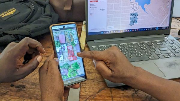
The Field Tasking Manager (Field-TM) helps teams add local knowledge to map features by coordinating mapping in the field.
Field-TM facilitates collaborative mapping by supporting and extending mature tools like ODK and QField. It is a standalone mobile and web workflow that helps teams collect geospatial data efficiently with commonly available Android devices.
Support diverse survey forms, multiple data formats, and adaptable workflows that fit different operational needs.
Adapt Field-TM to your own survey logic, data structures, and integration requirements.
Monitor survey progress at task and feature level so managers can make informed decisions quickly.
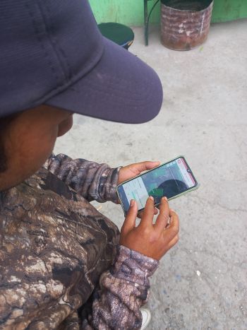
Project managers use Field-TM to set up mapping projects, define areas of interest, design survey forms, and split work into manageable tasks.
Mappers do not need to log in to Field-TM. Once a project manager publishes a project, mappers access it directly in their mobile app of choice.
Field Tasking Manager empowers communities to map informal settlements, public facilities, and local services for inclusive planning.
Build smarter cities with coordinated surveys of houses, roads, and utilities through clear, manageable mapping tasks.
Rapidly map damaged infrastructure after disasters, coordinate volunteers, and deliver reliable data for relief operations.